El Niño strengthens: what is happening in the Pacific?
A warmer ocean can affect time thousands of miles away. The October 2026 NOAA updates help to understand the phenomenon, without turning predictions into prophecies.
The name sounds like a baby. The scale is that of an ocean. El Niño is strengthening in the Pacific, and the NOAA update of 8 October 2026 confirms this: the phenomenon could remain strong or very strong until the beginning of 2027. The news is about those who study the climate, those who work with water and land, those who have to prepare for the winter season. But what exactly is changing?
First of all, the Pacific is not a still tub.
In this system there are water and air that passes over it. Surface temperature of the sea, winds and rains interact: when a part of the system changes, the others can also respond. It is this bond that allows a tropical Pacific anomaly to influence the atmospheric circulation at a distance.
El Niño, explained without headache
Under normal conditions, along the equator, the aliens push the Pacific hot water to Asia. During El Niño these winds weaken and the warmer surface waters extend eastwards, in the direction of the Americas. This changes the conditions of the ocean and its relationship with the atmosphere.
The system is named after ENSO, the English symbol of the southern oscillation of El Niño. It can go through a hot phase, El Niño, a cold phase, La Niña, or neutral conditions. During La Niña, the aliens tend to strengthen and in the central and eastern equatorial Pacific, colder surface waters are observed than normal.
Why is it just called El Niño?
In Spanish it means "the child." The South American fishermen had observed unusually hot water periods and used the name El Niño de Navidad, with a reference to Christmas. The phenomenon tends to reach the maximum intensity around that period. Niña means "the child" instead. Two names easy to remember for a system anything but simple.
The episodes of El Niño and La Niña often last from nine to twelve months, but can be prolonged. They appear on average every two years without a regular deadline. It is therefore not enough to look at the timetable: we need continuous measures and observations.
What says the October update 2026
In its bulletin of 8 October, NOAA’s Climate Prediction Center reports that El Niño continues to strengthen. The forecast gives a probability above 83% that it will remain strong or very strong in January–March 2027. This is a probabilistic assessment: it describes the scenario considered most plausible, not a promise that every place will experience the same weather.
That +2,1 °C: attention to where we measure it
The October bulletin reports an anomaly of +2,1 °C in the region called Niño-3.4, one of the Pacific areas used to monitor ENSO. In portions of the eastern equatorial Pacific surface anomalies exceeded +4 °C. They are deviations from the average water in those areas: they are not an increase in the temperature of the entire planet.
NOAA also observes the temperatures below the surface and behavior of the winds. The intensity of an episode is reconstructed with this set of clues, not with a single hot day or a photograph of the sea.
In the United States, a winter to watch
On October 15, NOAA released seasonal forecasts for December 2026 in February 2027 in the United States. The picture favors temperatures above average in many northern areas and higher rainfall in part of the South and along the east coast. El Niño is one of the factors contributing to this scenario.
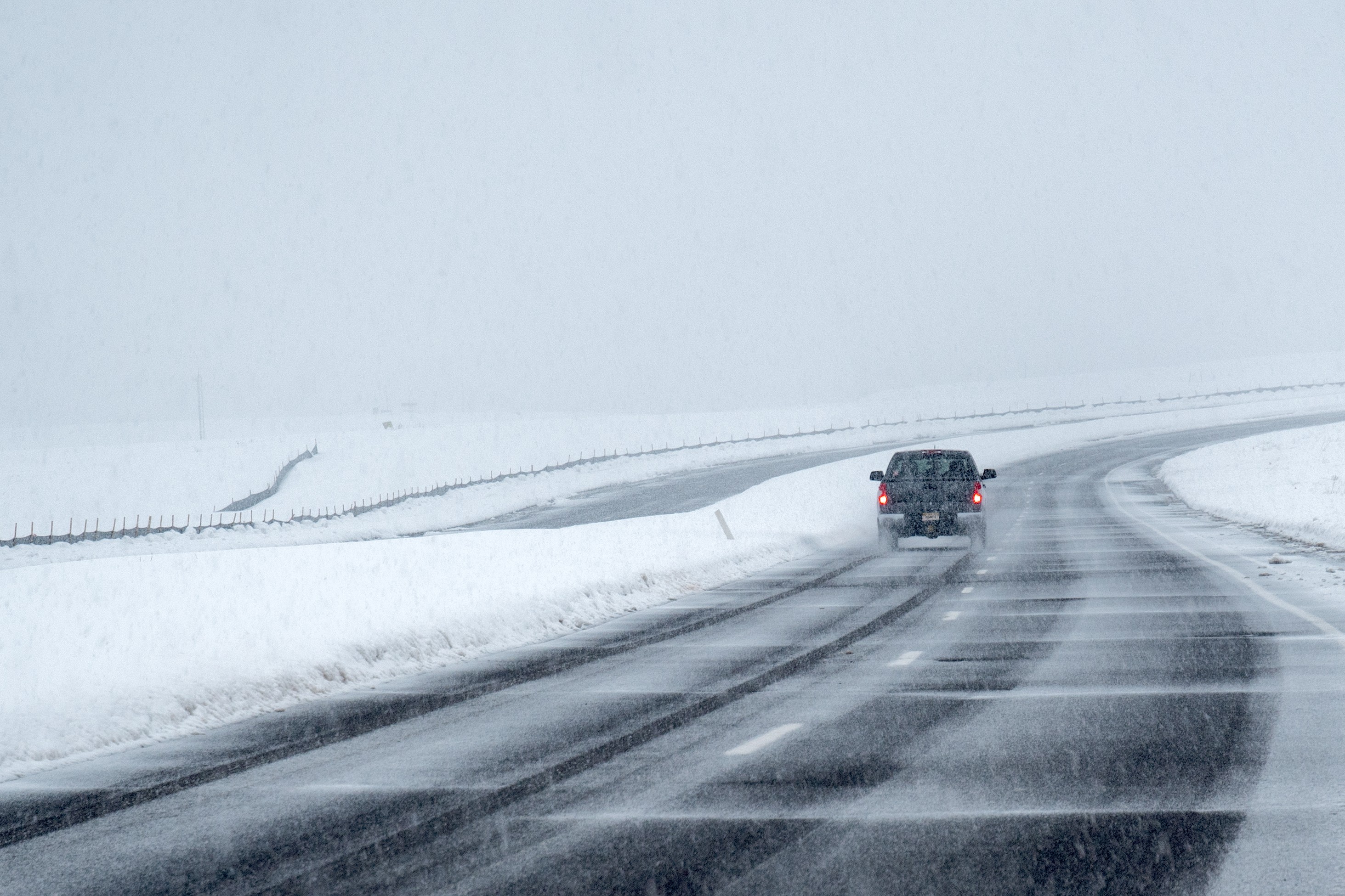
Attention to a decisive passage: a seasonal forecast does not say if it will snow in a city on Christmas Day. Indicates the probability of temperatures and precipitation above, below or near the mean over months. The time of the single day is another question.
What about the fish? Change also comes under water
Along the peaceful coasts of the Americas, the rise of deep water normally leads to the precious nutrient surface. During El Niño this ascent can weaken or stop. The availability of nutrients decreases, with consequences on phytoplankton and on the animals that feed on it. The change therefore also concerns ecosystems and fisheries: one more reason to follow what happens in the ocean.
The trap question: "Is this storm your fault?"
Attributing a single storm only to El Niño is a shortcut. The phenomenon may make some conditions more likely, but reconstructing its contribution to a precise event requires a specific analysis. FAQ NOAA points out that these studies may take months, detailed observations and reconstructions of atmospheric weather. A plausible link is not yet a proven explanation.
What about Italy? The answer is not in a slogan
The forecast of 15 October concerns the United States: it cannot be automatically transferred to our cities. From that document we cannot derive, alone, a cold, mild or rainy Italian winter. To know what to expect here we need analyses of Europe and Italy, updated as the season approaches.
To read a forecast without losing you, look for three coordinates: the territory, the period and the probability. More rainy than the average of the quarter doesn't mean rain every day; it doesn't erase the possibility of a short cold wave. It is here that news about the climate becomes useful: when it explains what we know, where it is worth and what remains to be observed.
Source: NOAA Ocean Service ↗ · Open the original video ↗